CAVERS: Multimodal SLAM Data from a Natural Karstic Cave with Ground Truth Motion Capture
arXiv cs.RO / 4/17/2026
📰 NewsDeveloper Stack & InfrastructureSignals & Early TrendsModels & Research
Key Points
- The paper introduces CAVERS, a multimodal dataset designed specifically for autonomous robot perception and navigation in natural karstic caves, where conditions differ significantly from mines or tunnels.
- CAVERS includes 24 sequences (about 335 GB) collected in two structurally distinct rooms at Cueva de la Victoria in Spain, using RGB-D, near-IR thermal, and LiDAR sensors in both handheld and rover-mounted setups.
- Most sequences come with millimeter-accurate 6-DoF ground-truth pose and velocity at 120 Hz provided by an OptiTrack motion capture system installed inside the cave.
- The authors benchmark seven state-of-the-art SLAM/odometry methods across multiple sensing modalities (visual, visual-inertial, thermal-inertial, and LiDAR-based) plus a 3D reconstruction pipeline, demonstrating dataset usability.
- The dataset and supplementary materials are publicly available on GitHub, enabling direct research and benchmarking for cave-SLAM and multimodal robotics.
Related Articles

Reported ban on ‘sex robots’ by online platform fuels debate on AI boundaries and content moderation
Reddit r/artificial
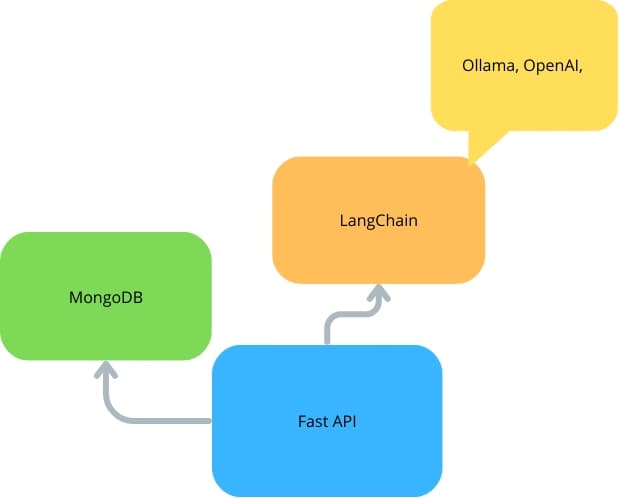
FastAPI With LangChain and MongoDB
Dev.to
Best AI Game Creator in 2026
Dev.to
![[Patterns] AI Agent Error Handling That Actually Works](/_next/image?url=https%3A%2F%2Fmedia2.dev.to%2Fdynamic%2Fimage%2Fwidth%3D1200%2Cheight%3D627%2Cfit%3Dcover%2Cgravity%3Dauto%2Cformat%3Dauto%2Fhttps%253A%252F%252Fdev-to-uploads.s3.amazonaws.com%252Fuploads%252Farticles%252Frn5czaopq2vzo7cglady.png&w=3840&q=75)
[Patterns] AI Agent Error Handling That Actually Works
Dev.to

Building ONNX Embedding Workflows in Oracle AI Database with Python
Dev.to